Brief History of Charlottetown

Pic 4: This is a portrait of Queen Charlotte.
Charlottetown was incorporated in 1855, but there was settlement dating back to 1720. It was found on an expedition by the Comte de Saint-Pierre. It became under the British rule in 1763 when the Treaty of Paris was signed. The Surveyor General named Captain Samuel Holland, established that the location of where Charlottetown is today would be one of the primary towns and named it "Charlotte Town," after Queen Charlotte, the wife of George 3rd of England (Refer to Pic. 4 on the left). In 1765, it was finally declared the capital of Prince Edward Island. The original town plan was designed by Mr.Morris, but was expanded on and carried out by Thomas Wright, a surveyor. He made plans to create 500 lots that were 84' x 120' each, streets that were 100' wide that stretched from the water, 80' wide streets that crossed at right angles, a central square that were for public buildings and 4 large squares that were filled with green. Some alterations were made to the plans so that encroachments of 40 feet were on the east-west streets, lots that were 84' x 160', some streets were taken out and some lots were consolidations. Those plans were for the water front areas and the non-water sided areas had 565-acre land that was on reserve for future use for the town. Pasture lands were also included and there were 12 one-acre fields.There were a lot of changes made to the city later on, but the 500 lots are still noticeable, and the 4 green squares were not taken away.
Connections from this city to other countries would be to Britain because they took control of it first. Below you can see a picture of early Charlottetown (Pic 5.).
Connections from this city to other countries would be to Britain because they took control of it first. Below you can see a picture of early Charlottetown (Pic 5.).
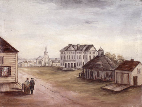
Pic 5: Painting of early Charlottetown.
